First steps
Your environmental calculation is just a few steps away. Let us introduce the concept of EcoTransIT World and show you the steps needed for your individual result.
Input mode
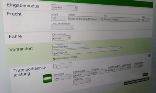
Firstly, the input mode for the actual calculation has to be chosen. Two different modes are available, a standard mode and an extended mode. The standard mode enables a “quick” calculation, whereas the extended mode permits a more precise specification of the transport chain.

Definition of good
Finally, the goods to be transported may be specified by determining the weight or number of containers, and the type of cargo (bulk, average goods, light goods). Furthermore, the handling may be defined.

Origin
Define the origin by entering the corresponding name in the intended box. Then, you classify the type of origin and destination point by choosing between city district, railway station, harbour and airport. Furthermore, you may enter a ZIP or choose the origin or destination via Google Maps. It is also possible to declare if a side track and/or harbour is available at the origin or destination point.

Transport
After having defined the route, you need to determine the transport chain. Different means of transportation are available: truck, train, aircraft, sea ship and inland ship.
The expert mode allows the specification of technical and operational details. You may choose the emission class for truck transports or the train weight for railway transports. This mode also enables the entry of via-points, through which the route of transport may be influenced, or the type of transport may be changed (for combined transports). You may also determine the load factor of the vehicle individually.

Destination
Define the origin by entering the corresponding name in the intended box. Then, you classify the type of origin and destination point by choosing between city district, railway station, harbour and airport. Furthermore, you may enter a ZIP or choose the origin or destination via Google Maps. It is also possible to declare if a side track and/or harbour is available at the origin or destination point.
After entering all the relevant factors, click the button labelled “Calculate” to start the calculation.

Result
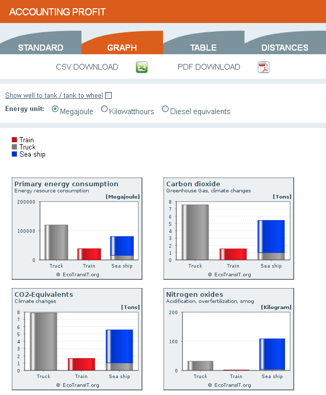
The results of the calculation are presented in the form of bar charts and tables. By choosing the last display option “Distances” the length in terms of the route of the different carriers is shown. The route may be followed via Google Maps or be exported as a Google Earth Route.


